

We’re getting used to having nothing to do but walk, cook and eat! We’re going through the books and TV entertainment quickly, but luckily we came prepared with much to read and watch, so we’re not worried that we’ll get bored.
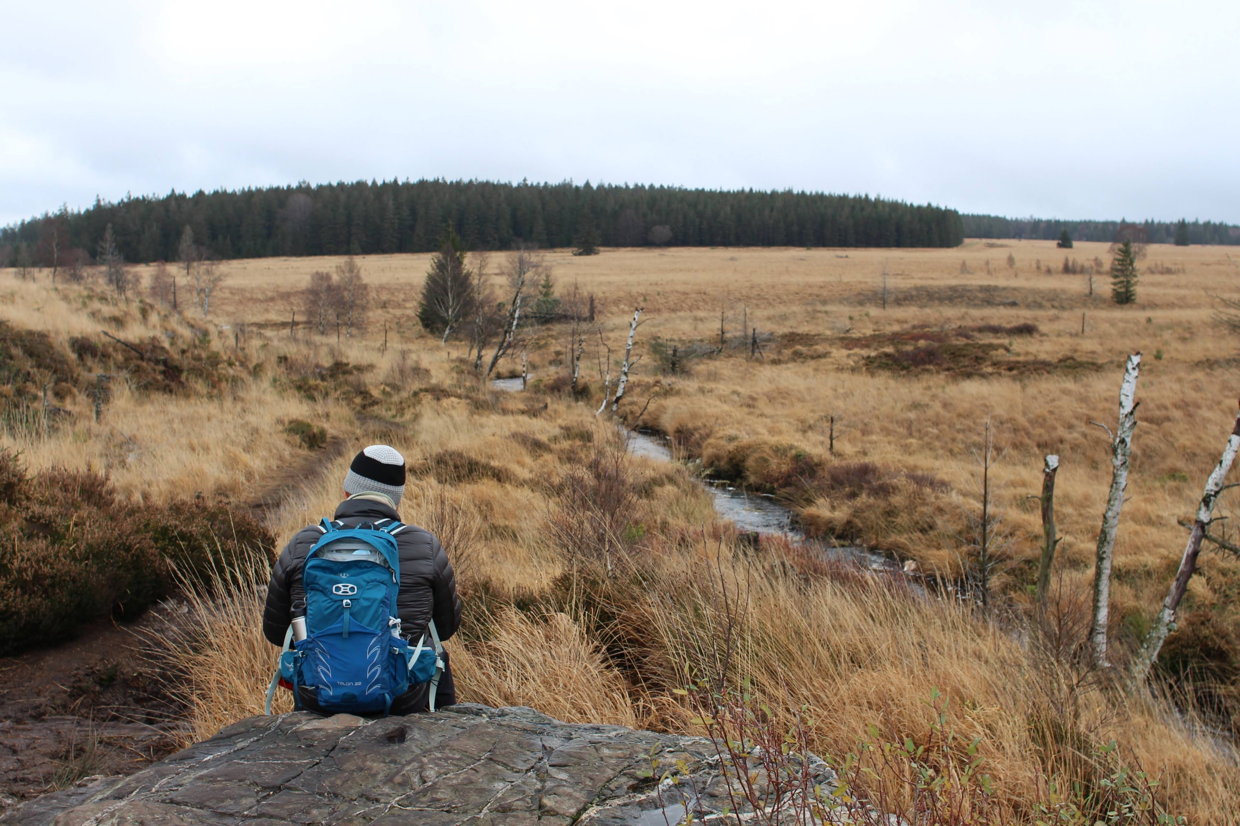
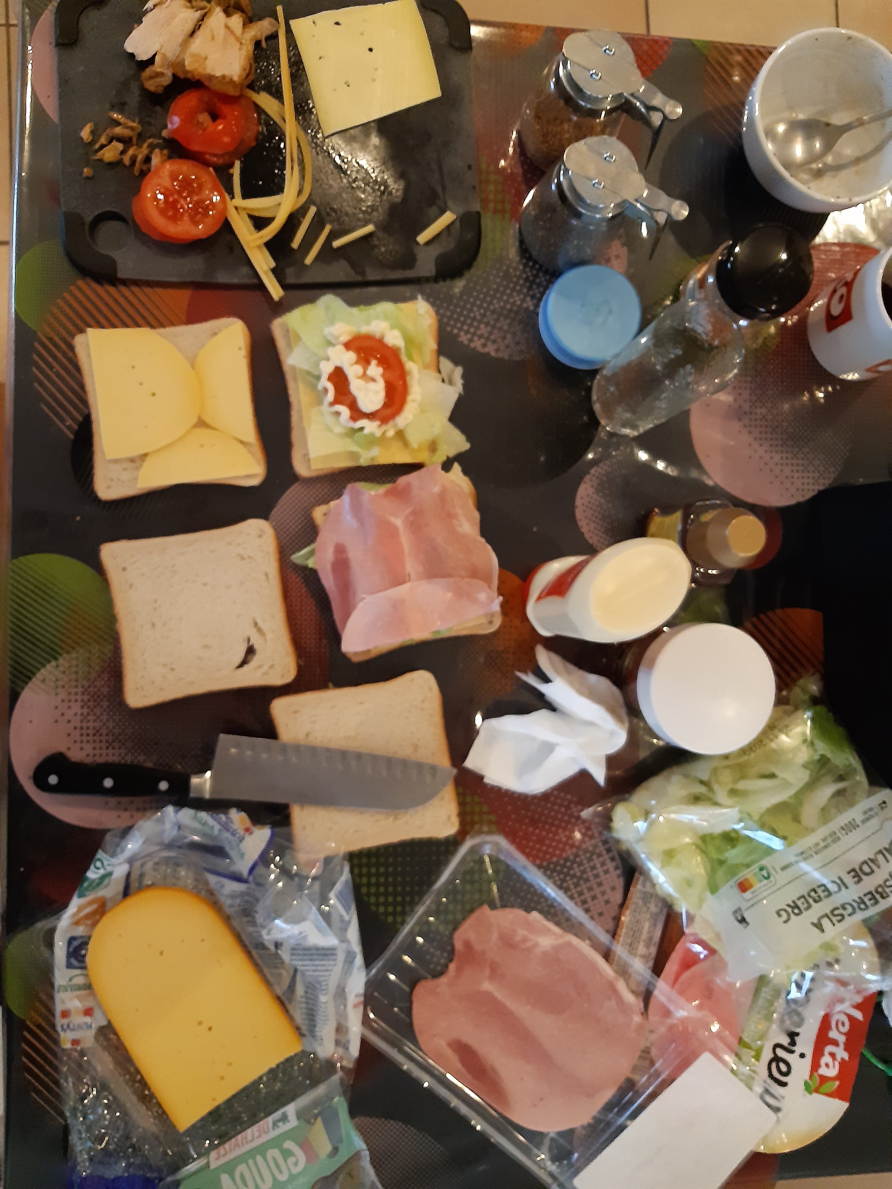
After the usual morning routine (with some leftover chicken berberé for the sandwhiches today), we take the car Signal du Botrange. Today is supposed to be dry and seems like a good time to do the highest walk of Belgium. The weather is grey and we encounter the bottom of the clouds right before we arrive, so we don’t see anything of the great view yet. We put on an extra windproof layer, gloves and a wooly hat, take the rain jackets just to be sure and start walking around ten thirty. The cloud cover gradually rises, so by the time we encounter the first boardwalk over the marshy ground, we can see the whole expanse of the bogbefore us. Most of it is accessible only with a guide, but a few paths have been secured and are free for all and today we’ll follow the loop trail to Le Noir Folhay. I created the trail this morning in RideWithGPS and then uploaded it to Wikiloc, it took some creative fiddling but it’s worth it: honestly, I really don’t like not knowing where I am.
I’ve done this walk before, but it’s impressive every time: this area is called Hoge Venen or ‘high fens’, but is actually a bog. It’s an extensive plateau that includes the highest point in Belgium and most Belgians will know it because the weatherman often mentions them as the coldest spot in the country on a particular day. The bogs have not been touched in more than 10.000 years (perhaps because it’s so cold, wet and windy here) and has been a nature reserve since 1957, the largest in Belgium. The border between Prussia and Belgium used to run through here: there’s stone boundary markers all over this area.
Aside from all these cool facts, it just looks impressive because of its sheer size: it took us about four hours to hike the 13 km around of the bogs. A large part of the trail over the bog is over boardwalks, both to make it easier and to preserve the bog itself, but the bit to Noir Flohay is a smaller trail and requires high, watertight shoes and some balancing in the mud. We see a few other walkers and a few cyclists, but most of the time we’re alone. No benches though, so for lunch we perch on a rock by the river (the chicken sandwich is great).
The sun breaks through the clouds once or twice, but the sky remains overcast and threatening. The wind is strong – you can see the low clouds scudding past – but aside from a few humid moments when the clouds drop very low, it remains dry. We see traces of deer in the mud, but don’t spot them out in the open. Not a lot of birds either, it’s a pretty quiet place.
One more break, this time on the plinth of a wooden cross, but even so we’re pretty tired by the time we get to the car. Drive home, hot shower, last Mandalorian episode, new book and later tonight the leftovers of the venison stew, this time with endive salad. Music has evolved to Enya, Katie Melua and similar.