

Up eight, breakfast at nine. Breakfast is served in the veranda, first the usual meats, cheeses and fruit arrangement, with homemade yoghurt and local honey, then a choice of warm dishes, of which I select the pancakes. Delicious. It should be dry today, but we’re in the mountains, so we pack rain jackets and put on our wide-brimmed waterproof hats.
Having set out a route on one of the nav apps, we set out on foot from the hotel. It’s about eleven o’clock and we’re planning to walk about ten kilometers on the Via Verde de Arrazola. Via Verde means green road and you can find them in many European countries, usually along canals or on the routes of obsolete rail ways. In France and Belgium they’re called Voies Vertes, in English Greenways, this site has a nice overview. The one right near here is not so long, so we’re planning to do it back and forth, with the addition of getting to it from the hotel and of course, back afterwards. After passing through the tiny village Axpe we meet the route at Marzana and turn left, downhill, towards the end of the trail at Atxondo. Before we get there, we bump into a fence around a major construction site: it look like they’re building a viaduct across the valley, it’s cool to see the work in progress.
There’s probably a deviation somewhere, but we don’t really need to see the start of the route, so we simply turn back and start uphill. This Greenway used to be a mining railroad, so it’s wide with a gentle and steady incline. On foot you barely feel it, but I speak from experience when I say that it requires extra effort if you’re on a bike packed with twenty kilos of luggage!


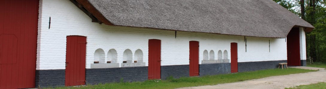
The whole trail is dominated by the Anboto peak. It’s 1.331 meters high and the highest point of the rocky ridge that forms one edge of this valley. The valley itself is green with fields and forest, but the closer you come to the edge the steeper the slope becomes, until the green is no longer able to cling to the grey rock. All around us we can see the ridges sticking out of the green land like weathered fossils of some prehistoric giant. The walk is very pleasant, and obviously popular with the locals. We pass cows and goats with bells around their necks, big farms built in the local style with rough hewn rocks, a church on a hilltop, ..
At the trailhead there’s a parking lot with public toilets and picknick benches, plus some extra info about the trail itself. The railroad track was built around the start of the twentieth century and taken out of use in the thirties, when the mining stopped. Afterwards it was used occasionally for forestry work, until it was finally abandoned in the seventies. We turn back again, walk down until Santiago and then turn up the local road back to Axpe. Back at the hotel around two, we have lunch at the hotel, a siesta and then head back out by car. We get some gas for the car, do a quick hop into the supermarket for more Kleenex and then drive to the Urkiola Natural Park. We make it up to the viewpoint right before dark and enjoy the view from the Mirador de las Tres Cruces. We can see the other side of the impressive Anboto ridge from here. There’s people that actually run up it for fun, apparently that’s called doing a vertical kilometer.
Not much later I’m regretting everything I ate today, as the same virus that floored Arne last week also gets to me. The rest of the evening and night go about as well as you might expect.
