
Due to the corona virus we’re not allowed to leave the house except for indispensable tasks like grocery shopping, getting medical help, etc. Fortunately the governement considers sports and excercise an essential task, so going out for a walk or bike tour is okay as long as (1) you don’t take the car to go to a starting spot and (2) you keep a minimum distance of 1.5 m from others. People of the same household can go outside together and you can meet one extra person, as long as it’s always the same one. So no group activities anywhere, no visiting family or friends and no group sports.
For me, my mother is that extra person, we both want to get out of the house and keep up our excercise regime, so we regularly meet up for a few hours walking or cycling. Social distancing means that my mom takes her bike to come to my house but does not come in, shouts a hello to my husband from the courtyard and then we set off on foot or by bike, keeping a 1.5 m distance at all times. The goal of all these rules is to avoid getting the virus or – if you already have it but don’t know it yet – avoid infecting others.
This is not our first day out and we’re really getting to know the country side, exploring different bike tracks, stringing waypoints together into longer routes, .. Today we have assembled a trail from national bike waypoints using Fietsnet and loaded the trail on the Garmin. Since it’s a sunny day we expect it to get busy, so we set off around eight thirty. We head south to the Nete as usual and then head west. It’s already quite sunny but we see few other people around for now, allowing us to ride side by side and chat.

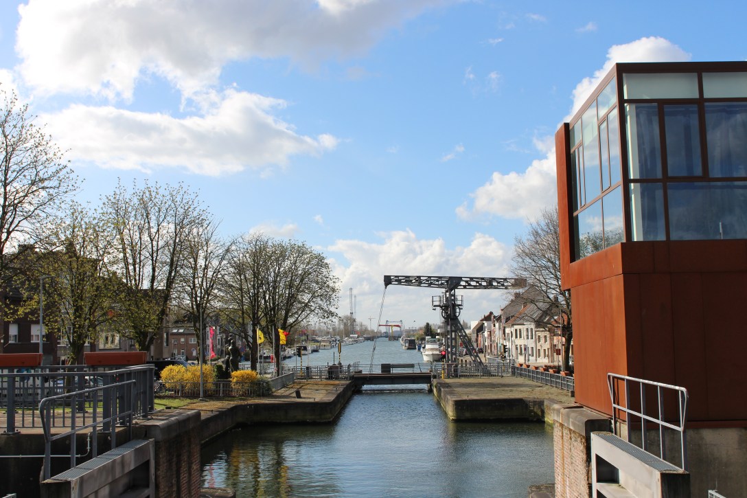
The special thing about todays tour is that we will encounter a lot of different rivers, waterways and lakes. The whole area to the north of Mechelen is riddled with them and it honestly gets very confusing. The first such point is the confluence of the Nete and Dijle rivers, where graceful bridges arch left and right to allow pedestrians and cyclists to cross. Looking around at the top of the bridge you can see you are surrounded by water. The rivers are banked by levees and the green fields just behind them are often themselves surrounded by earthen dykes, so that they can be used as flood reservoirs when the water in the river gets to high.
On to Willebroek, famous in Flanders for having a bridge always causing traffic delays as it opened, serenaded by folk singer Wannes Van De Velde (see YouTube). We do not encounter it on this trip, but we admire the charming marina near the Rupel on our way south. Next up is the watersports lake Hazewinkel and the Blaasveldbroek.

almost at the watersports lake 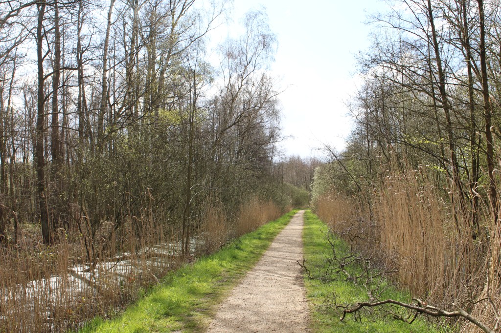
the Blaasveldbroek is full of small trails
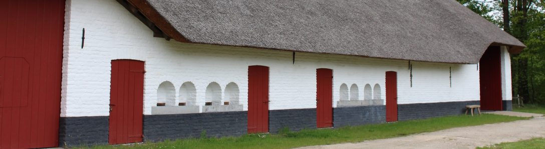
Broek means ‘pants’ in modern days but also refers to a type of wetland with shrubs. Many areas adjacent the big rivers in Flanders were originally of this type, before they were drained to make agricultural land. This limits the rivers to such a point where they become prone to flooding so in the last decades the governement has worked on connecting some of these carrs to the rivers again, allowing them to be flooded regularly. This is part of the Sigma Plan and I’ve encountered the related construction sites all along the big rivers. We stop at the local info center, closed now but the picnic benches are not cordoned off. We each brought our own lunch and drinks and eat sitting in the sun, at the required 1.5m distance.
Until now the trip is pretty easy, we have the wind in our backs and can chat while cycling. However soon after our lunch break we turn north along the Zenne river and the wind is so strong that we’re unable to talk. We push our way forward each at our own speed, reaching the Zennegat out of breath as if we’ve just climbed a 3 km long hill. In fact once we turn around to go south along the Dijle we get blown straight of the road into the grassy banks. We proceed carefully. The Zennegat is a strange place: three waterways come together here only to then in turn join the Rupel river about 1 km further downstream. I can’t even tell if I’m on an island here, though we certainly have to cross a lot of bridges. Further on we maneuver through some funny turns and crossing to get to the other side of the river and the other side of the highway, but soon we’re back by the water, following the small Vrouwvliet stream. The tow paths along these waterways have since long been converted to roads for pedestrians and cyclists. Can’t really call it slow traffic, because a lot of these cyclists go pretty fast. They ride extremely light bikes and wear semi-professional gear, usually with advertisements printed on their colourful clothes. The fact that large groups are no longer allowed just means they come out by themselves or in two’s, sometimes shouting ahead for you to move out of the way. They don’t have bicycle bells, perhaps they would add too much weight?

the parking lot at Sint Katelijne Waver is big and almost completely empty
We follow the Vrouwvliet all the way to the fietsostrade Brussels-Antwerp, this is part of a regional network of fast bicycle routes between the big cities, often following rail roads, the speediest way to get from A to B. We take a left to go back north, by this time it’s early afternoon and it’s busy on the path, we often cycle behind each other to leave room for other people to pass. At our last watering break at a bench many people pass us by, everybody in a good mood with a smile and a cheerful ‘good day’ ready. Maybe the obligation to stay at home and keep distance is making everybody more friendly to their neighbours?
