
When we wake up the light outside is grey, the valley is completely covered by a dense cloud. We stop by a grocery show in Grafenau to pick up sandwiches for lunch and then set of to Waldhäuser. When we climb out of the valley by car the sky is bright blue and the sun bright, though the temperatures drop as low as -8° in places.
Today’s plan is to climb the Lusen, one of the highest mountains in the area. Due to the snow we cannot park close to the start of the walk, but we have found an alternative walk on Wikiloc so we’re following that one. We take the scenic route to the summer car park. It’s freezing, but it’s very sunny and there is not a lot of wind so the subjective feeling is not too bad. When climbing I can even take of my gloves. During the walk to the summer car park we can see the Lusen looming ahead, it seems like a long way up. We’ve been advised to take the winter road up, since the final climb on the summer road is too icy to be safe. The winter road is a wide path that climbs steadily to the top. We take off a layer of wool because the exercise keeps us warm enough.

Close to the top is the Lusenschutzhaus, in the summer and during the ski season you can eat here though it’s closed now in low season. Fortunately, there are some sunny sheltered benches where we can have our lunch. We take our time to cool down from the steep final approach to the Schutzhaus, we see perhaps 10 people in total coming up the path, stopping for a break, all German speaking, most with a big dog. There is even an older guy doing this at a respectable jogging speed.

the deer come out during dusk 
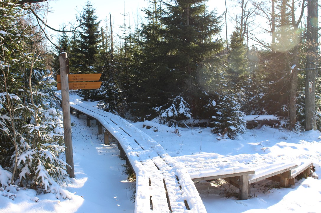
down to the Teufelsloch 
the way to the top 
the view from the top of the Lusen
The last leg of the hike up the top is challenging, as the top is a bunch of suitcase sized boulders covered with frozen snow and slippery ice. The view from the top is spectacular, we can see the clouds still hanging around the valleys, all the way to the Alps in the distance. To the east are the mountains in the Czech part of the national park, to the north we can see the Rachel, which we might climb later, to the east and south the higher valleys with fields and villages and after those only clouds.
We take the same route down, but decide we have enough energy left for a detour. We walk to the Teufelsloch via a smaller path through open woods and over swampy valleys. A steep descent brings us to the Teufelsloch which turns out to be a river covered by car sized boulders. We don’t actually see much of it since it’s all covered in snow, but the view towards the valley is pretty. After Martinsklausen we spot deer twice. The second time we are far enough away that they don’t run immediately, so we had about 10 minutes to enjoy the view and take pictures. It’s 4 pm by the time we get back to the car and the low sun gives everything a mellow yellow shine.
- Steps : 21860
- Floors : 187
- Kilometers : 15.43
