

Alarm at 7, up at 8. I realized yesterday evening why we’re getting up later, it’s because we stay up late, reading in bed. Definitely a necessary part of holidaying. It’s pretty sunny outside, though according to wetter.de it’s only 3° C. I go out to get our lunch bread rolls and it’s perfect walking weather. It’s early enough in fall for the sun to feel warm, but late enough for cold nights and chilly winds, a nice combination if you’re wearing the right clothes. Bread and choco for breakfast, then we get ready to leave. I finalize the RideWithGPS route: the first part is clear and easy, as we want to reach an outdoor museum about the Iron Curtain. The second part is not fixed yet, but we have a few options and can simply pick the route when we reach the town of Sorge. I’ve organized it so that we can simply leave from the holiday home on foot, doing a big loop to Sorge and back.
I fix the classic hiking lunch: a bread roll with salad greens, a slice of tomato, ham and cheese, seasoned with mayo and mustard. For myself, I add some young sprouts, I like the tartness they add. We pack up and leave, or at least try to and then return upstairs for my sweater and a change of hiking shoes for Arne. Finally, we’re off. We leave the tiny village of Hohegeiß and follow the Kolonnenweg – the old convoy road – in straight lines over the landscape. As in previous hikes, we see a lot of logging activity: a vehicle on caterpillar tracks depositing cut logs by the road, a truck with logs on its trailer and once in the distance the sound of a falling tree. When we encounter such activity right by the road, the operator stops the crane, even kills the engine, before waving us past.
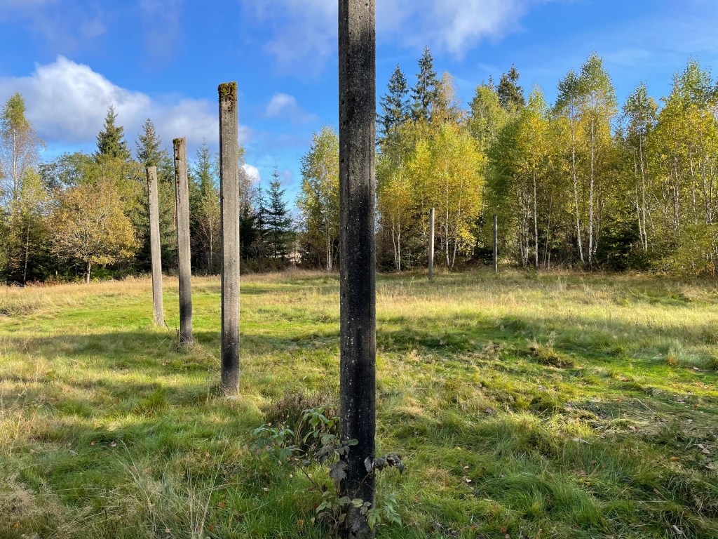
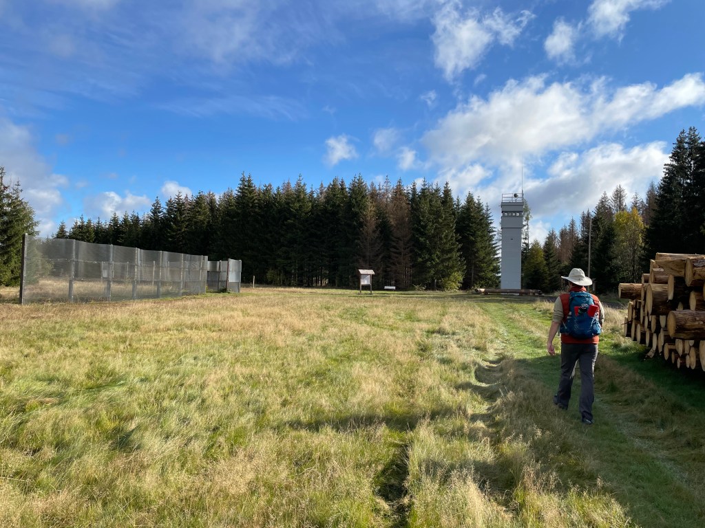
We already know that the Kolonnenweg is a logistics support road, which used to run on the Eastern side of the Iron Curtain. Here in Sorge they’ve preserved a lot of the components of the border landscape and added information panels, this is what we’ve come to visit. First we see some old concrete posts, then further on an original piece of the fence with a watch tower. The border area was not just a fence, it was a series of fences, with a cleared kill zone in between, guarded by watch towers and dogs, sometimes mined. The village Sorge was actually within a five kilometer wide restricted area, requiring a pass to move around in. There’s a monument to the people who died, trying to cross this specific part of the border.
We see a few more people here, also families with kids, it must be a school holiday somewhere in Germany. We’ve heard nothing but German during this holiday, perhaps we’re not in he right place or the right season to see international tourists. We have lunch at a sunny picnic spot, right by the narrow gauge railroad. Lunch tastes great, but then how could it be otherwise, when we’re sitting outside in the sun, looking out over a bubbling river valley, waiting for the steam locomotive to appear.


When we set out after lunch, walking carefully to warm up our aching calf muscles again, we see that our planned route south is closed due to ongoing logging. We suspect that whole area will be closed, so we decide to continue on to the center of Sorge and return over a more easterly route. It’ll extend the loop, but we’re making good time so we can probably take it.
It’s a beautiful walk, we follow some smaller trails through newer forest (we can tell because it’s not dead spruces), crossing the occasional forest meadow and a few hillsides that used to have old spruces (we can tell because they’re all gone). The sun feels really warm but there’s a considerable wind chill now and then, I adapt by taking off/putting on my thick woolly hat. In the middle of nowhere, we encounter a hole in the ground, with a wooden fence around it and an info panel. This is a mineshaft from the 16th century! 16th! They dug for silver all over this mountain range, hence the often recurring references like Silberteig – Silver pond.
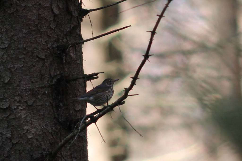
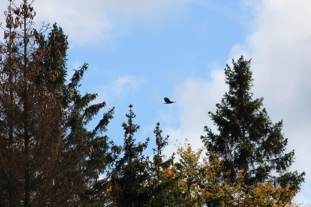
I get to use my zoom lens a few times during the day, for a few birds and a pale kind of bumblebee. The wood pecker is easy to recognize, but the medium brown bird is more difficult to identify. Might be some kind of thrush.. The bird of prey is probably a buzzard, they’re the most common in this area. Always difficult to make a decent picture of birds, they’re usually moving and a bit out of the way (if they’re close, they immediately flee and you have no picture at all). I take dozens of each bird and usually have one that’s halfway decent. Bumblebees are easier!
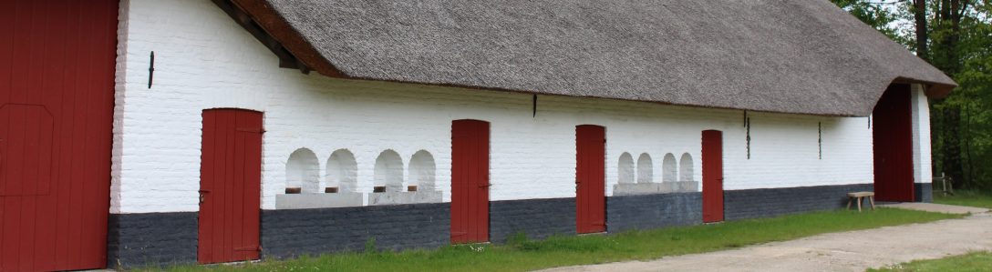
We’re back in Hohegeiß around three and we settle down to our quiet-afternoon routine. We’re cooking pasta a la carbonara today, though with German substitutes. We didn’t feel like getting in the car to go shopping, so we’re making do with what we found in the general village store. Perhaps another submarine movie tonight..
Today’s statistics : total distance 15.2km / elevation gain 267m / max ascent percentage 13.3% / elevation loss 277m / max descent percentage 11.7%

